Asansol is the headquarters of Paschim Bardhhaman district, West Bengal. It is one of the fastest growing cities in India, and is also featured in a list of the first fifty fast growing cities in the world.
Bounded by the Damodar River to the south and the Barakar River to the west, blessed by more than 1000 millimetres of rain annually, the region had a large number of Terminalia elliptica trees. This large tree is known for its ability to store water. The city takes its name from the tree, locally called asan while sol means land.
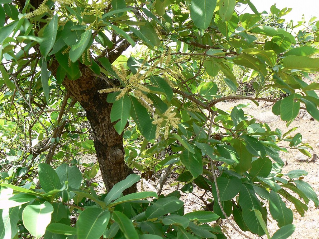
Image: Dinesh Valke via Wikimedia Commons
The land of the asan tree became a Municipal Corporation in 1994. Railway and road connections with the north and the south of India helped swell the population and increase industrialisation.
What is the ecological cost of this rapid and largely unplanned urbanisation?
Sandipan Das, Symbiosis Institute of Geoinformatics, Pune collaborated with researchers at the Bankura University, the Haldia Government College, the Bhatter College, and the Coastal Environmental Studies Research Centre at Kharagpur, to investigate.
To understand trends in the transformations in Asansol, they downloaded Landsat multi-temporal satellite imagery from 2001, 2011 and 2021. To avoid problems created by cloud cover, they only used pre-monsoon images.
To map this transformation, the researchers processed Landsat satellite imagery through the Google Earth Engine platform. Ground verification was carried out using 300 reference points – 42 collected through direct field surveys with handheld GPS devices, and the rest validated through high-resolution Google Earth imagery and Survey of India toposheets.
The researchers classified Asansol’s landscape into five categories: built-up areas, agricultural land, vegetation, water bodies and fallow land.
The findings were stark. From 2001 to 2021, built-up areas surged from 43.41 to 70.35 square kilometres while agricultural land lost nearly 35 square kilometres. And water bodies shrank by over 4 square kilometres.
To put a price on this ecological loss, the researchers applied an internationally recognised valuation framework. They assigned each land type a monetary value to estimate the economic worth of the natural benefits the land provides, from clean water and food production to climate regulation and nutrient cycling.
The verdict, in cold numbers: the city’s total ecosystem service value fell from US$ 102.56 million to US$ 91.5 million in twenty years.
The findings carry urgent implications for how Asansol and cities like it are planned and governed. Water bodies, the study warns, are among the most ecologically valuable yet most vulnerable assets in the urban landscape.
Their decline not only shrinks freshwater availability, but also strips the city of natural buffers against rising temperatures, weakening its defences against urban heat island effects.
The steady erosion of green cover points to a pressing need for deliberate urban greening, by expanding parks, tree cover and vegetated corridors within the city’s built fabric.
Boundaries on construction need to be enforced. Urban development policy needs to be integrated with ecological planning and water-sensitive design at the city scale.
“Otherwise, Asansol risks trading its remaining natural capital for concrete, which the numbers suggest it can no longer afford”, says Sandipan Das, Symbiosis Institute of Geoinformatics, Pune.
Discover Applied Sciences 8:50 (2026);
DOI: 10.1007/s42452-025-07984-1
Reported by Ishita Malakar
Symbiosis Institute of Media and Communication

Well written article. Congratulations.
LikeLiked by 1 person