Jagabandhu Dixit and team from the Shiv Nadar University, Noida, is involved in visualising the spatio-temporal assessment of hazard-prone regions in the country. His research scholars, Navdeep Agrawal and Laxmi Gupta, focus on the north-eastern states. They tackled an interesting problem recently.
Meghalaya lies in the heart of the convergence of the Indian-Eurasian plates to the north and active subduction beneath the Indo-Burman ranges to the east. So the region has always experienced mild to large earthquakes. These tectonic activities have been impacting the landscape of Meghalaya. The river drainage system there has also been changing due to active faulting and tectonic uplift.
Can we quantify these geological responses and use them as a proxy to understand ongoing tectonic activities?
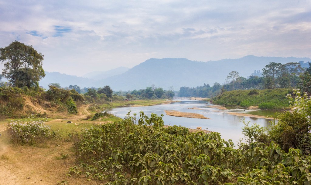
Drainage from Khasi hills, Meghalaya; Image: Nick Irvine_Fortescue via Flickr
The researchers analysed the drainage basins and stream networks in the region. Using satellite images, they studied erosional activity there and the elevation range of the basins. These parameters influence flood patterns and the sediment-carrying capacity of the streams and help us understand erosional characteristics.
The researchers observed increased erosional and depositional processes in the southern parts of Meghalaya. They also noticed rapid uplifting of river basins in the Khasi and Jaintia Hills areas.
To correlate these changes, the researchers used geomorphic indices to characterise landscape processes and active tectonics. Indices like basin shape, tilting, relative incision, and erosional status suggest that the Garo Hills region is undergoing a slow uplift, moving from west to east along the Dauki Fault.
The researchers integrated the morphometric and geomorphic indices and created an index of relative active tectonics. Their spatial analysis confirms that the river basins covering the Khasi and Jaintia Hills regions and, partially, the Garo Hills region fall under a high to very high rate of active tectonic deformation.
People living in the region need to be made aware of the chances of earthquakes and abrupt changes in landforms and unexpected flooding.
All Earth, 34 (1): 39-54 (2022);
DOI: 10.1080/27669645.2022.2081112
Report by: Manish Kumar Tekam
Freelance Science Writer, Indore
STEAMindiaReports: signaling tectonic changes in science communication in India
News reports in this site is free for Indian media to use

Leave a comment